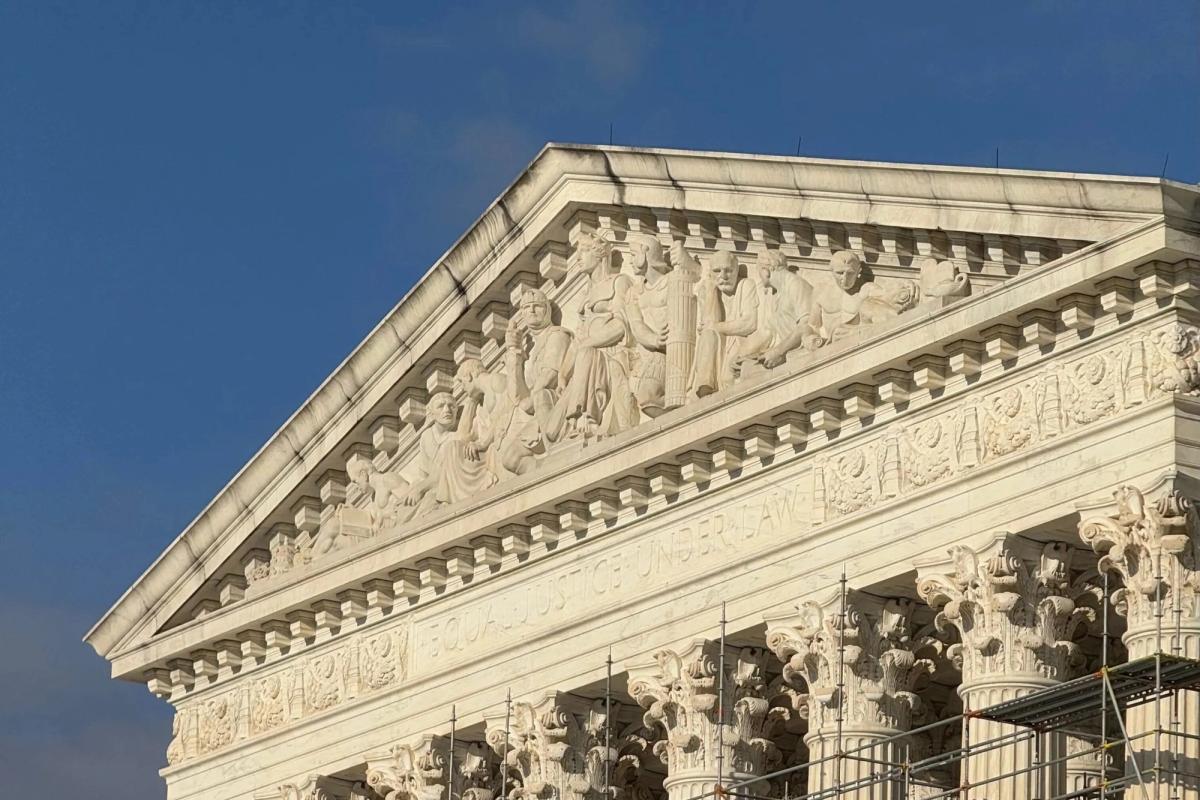
The Supreme Court has reopened Alabama's redistricting dispute, returning a case involving state legislative maps to the justices' docket. The case centers on whether Alabama's legislative district lines violate the Voting Rights Act or deny voters equal protection.
Alabama's redistricting process has faced repeated legal challenges over whether the state properly accounted for minority voting strength when drawing district boundaries. Lower courts previously examined whether Alabama packed minority voters into certain districts or cracked them across multiple districts to dilute their electoral influence.
The Supreme Court's decision to revisit the case signals the justices believe the matter warrants fresh consideration. Redistricting disputes routinely reach the Court, as states must redraw legislative maps following each decennial census, and competing interests clash over how to weight population equality, geographic compactness, and minority representation.
The Voting Rights Act Section 2 requires states to avoid diluting minority voting power through district design. Section 5, which previously required certain jurisdictions to preclear maps with federal authorities, was substantially weakened by the Court's 2013 Shelby County decision. That ruling shifted enforcement burden to private litigants challenging maps after implementation.
Alabama's case touches broader questions about how aggressively courts police state redistricting decisions. The Roberts Court has consistently limited voting rights protections, striking down preclearance requirements and rejecting partisan gerrymandering claims as nonjusticiable. How the Court approaches Alabama's maps may indicate whether the justices will enforce remaining Voting Rights Act safeguards or continue narrowing voting rights doctrine.
The timing places redistricting squarely before the Court during an election cycle, potentially affecting how Alabama conducts upcoming campaigns. State legislatures watch Supreme Court redistricting decisions closely, as outcomes establish boundaries for their own authority in drawing maps.